Geoconcept Geoptimization JavaScript API and Geoptimization web services are aimed at developers and integrators, providing a JavaScript library and a complete series of hosted web services that are easily integrated so the geographic dimension can be rapidly added to your applications.
Example
- Search demonstrator showing search web services (autocomplete, geocoding, address standardization) and WMTS map tiling.
- Routing demonstrator showing routing (including prohibited transit zones), reverse geocoding web services and WMTS map tiling.
How can I get started?
To use our Geoptimization JavaScript API and Geoptimization web services, simply fill in this form and you will receive an email with login identifiers valid for 30 days. You will be able to trial both documentation and components to integrate within your applications.
It goes without saying, during the trial period you will be able to use our services – as described in the documentation - free of charge, without any obligation to provide us with information on your side.
Which coverage?
Coverage may vary depending on the web service, but most are available on any chosen continental server (see below) for the following geographic area:
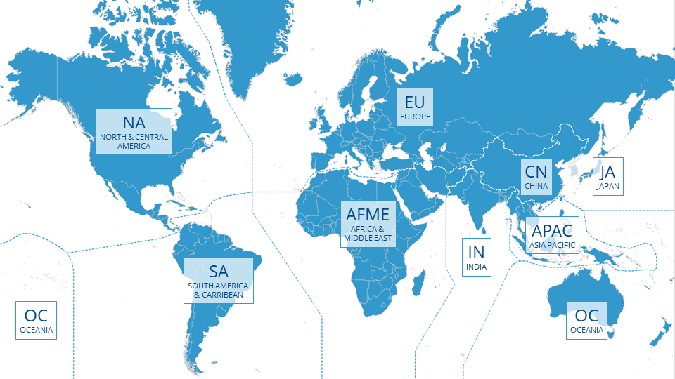
To request a specific continental server, replace the XX string, inside the url, with the chosen continent:
https://api.geoconcept.com/XX/GCW/geoconcept-web/api/lbs/
